Battlefield Visits #129 – The Battle of Cedar Creek

From my travels, August 1, 2019.

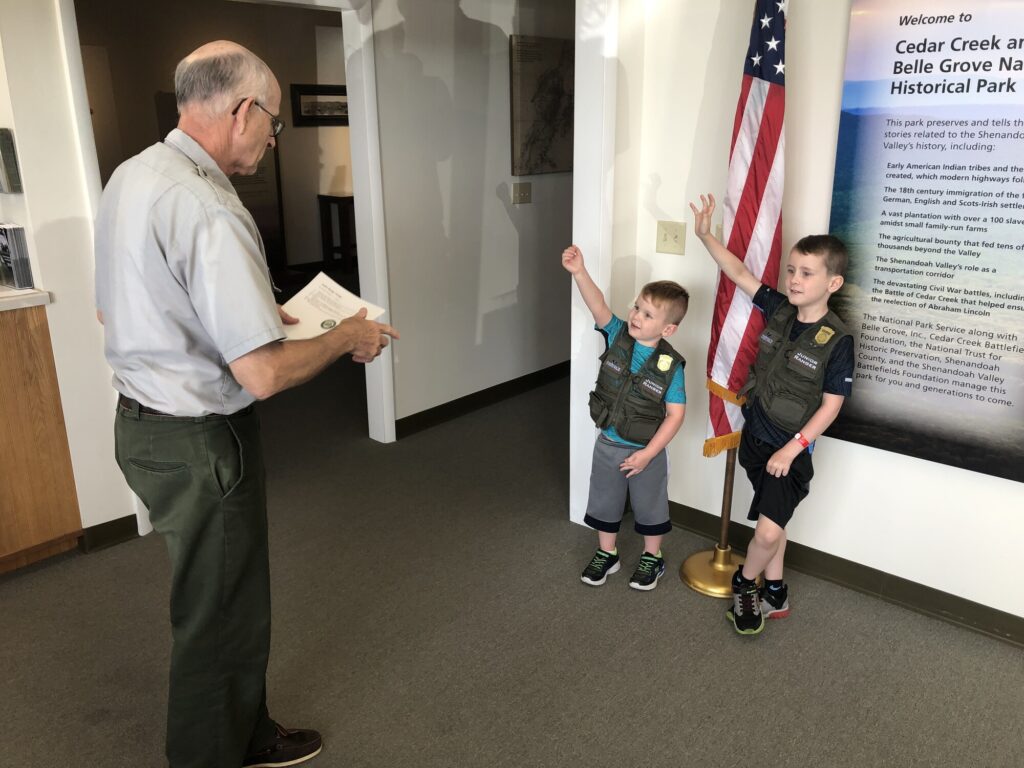
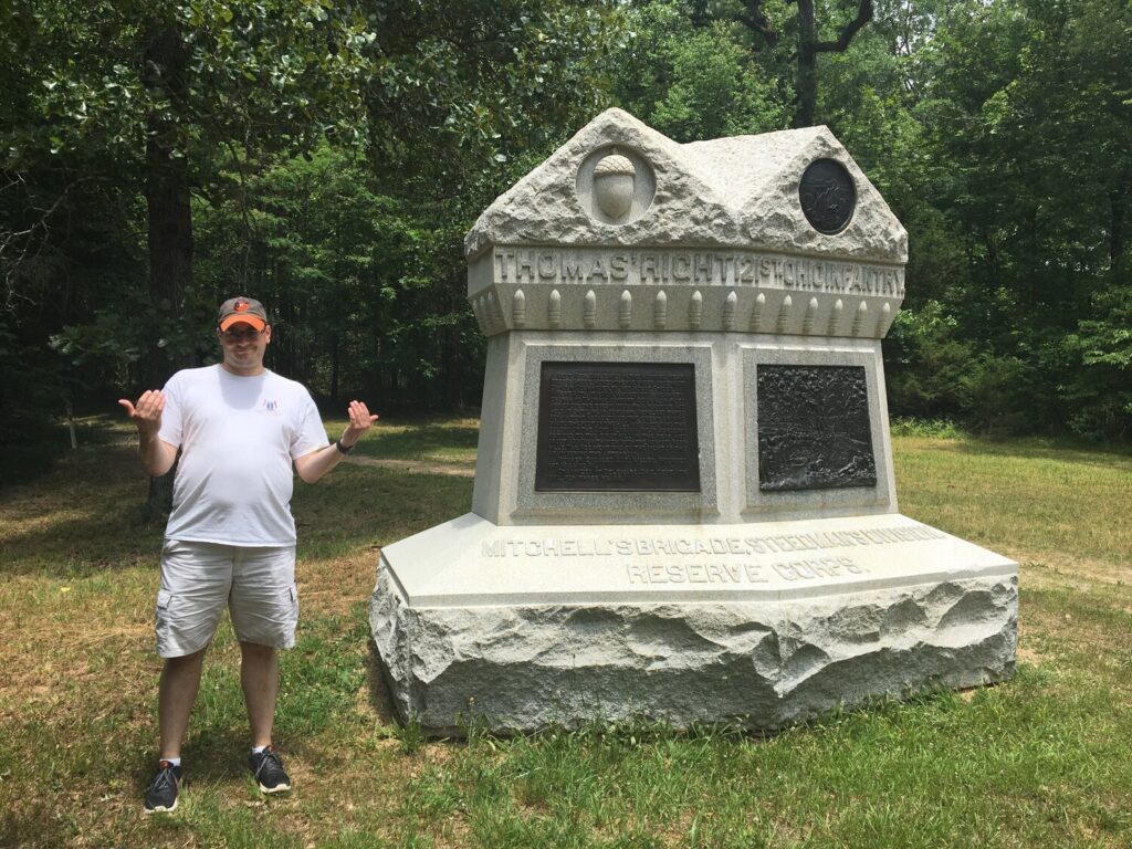
While on another road trip to visit Chattanooga – this time with more family members along, including my two boys – I decided that it would be nice to finally visit the site of the Battle of Cedar Creek. I could check it out for myself, and the boys could get another Junior Ranger badge. That’s fun for everyone!

The Visitor Contact Station at Cedar Creek and Belle Grove National Historical Park. - <i>Photo by the author</i>
The Visitor Contact Station at Cedar Creek and Belle Grove National Historical Park. – Photo by the author

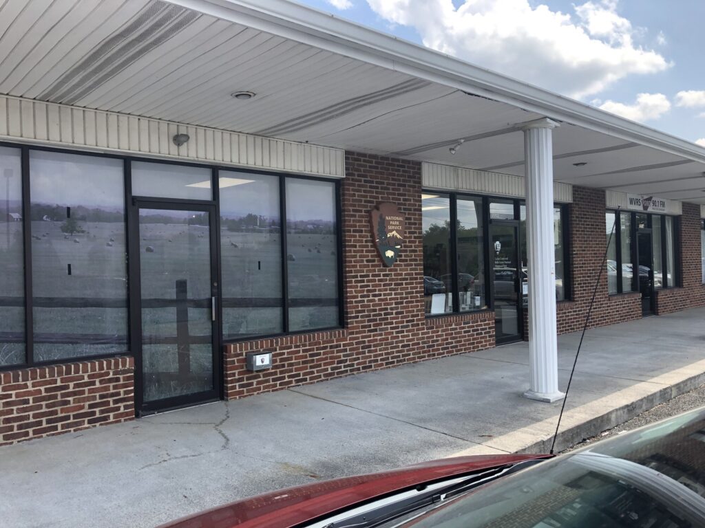
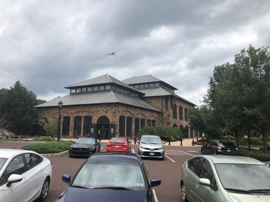
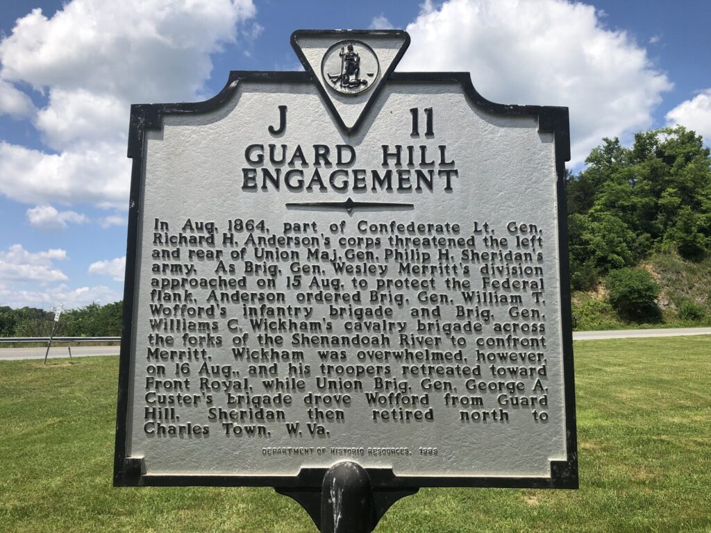
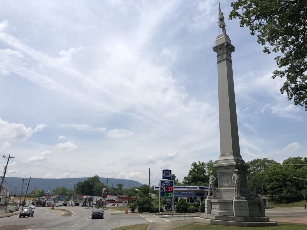
Cedar Creek and Belle Grove National Historical Park is a fairly new unit in the NPS – having only been established in late 2002. During our visit, it felt like a site that was still trying to figure itself out. For instance, the visitor contact station is at a strip mall in Middletown, VA. This is the only NPS site in the Shenandoah Valley, so I think they are trying to tell the whole story of both campaigns, with Cedar Creek as the climax of all that activity.

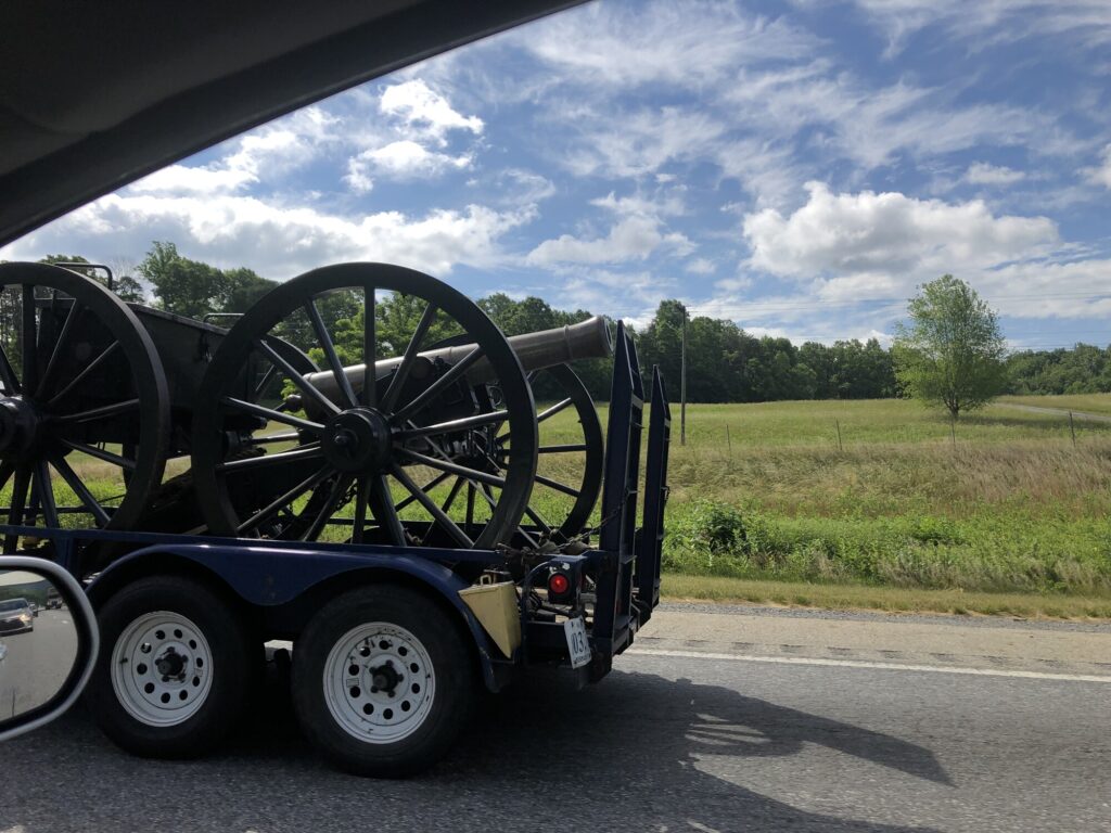
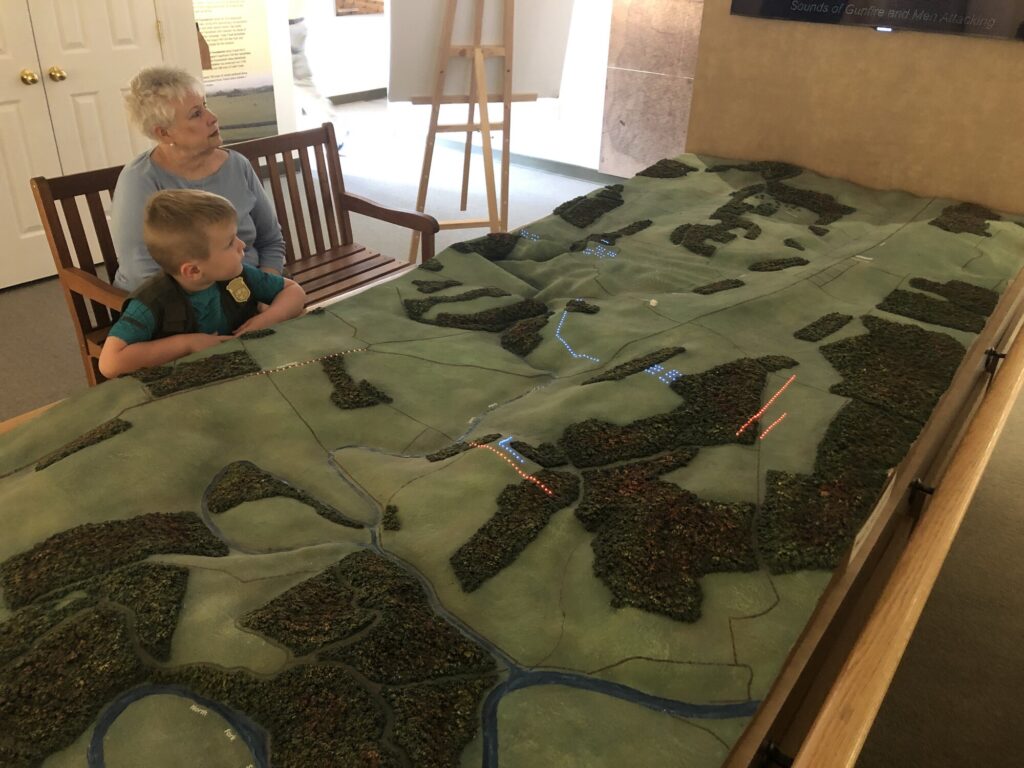
The visitor contact station had some cool museum stuff – including some interactive “try on” pieces for the boys. And you’ve got to love any battlefield with an electric map!

Isaac and "Nene" examine the electric map! - <i>Photo by the author</i>
Isaac and “Nene” examine the electric map! – Photo by the author

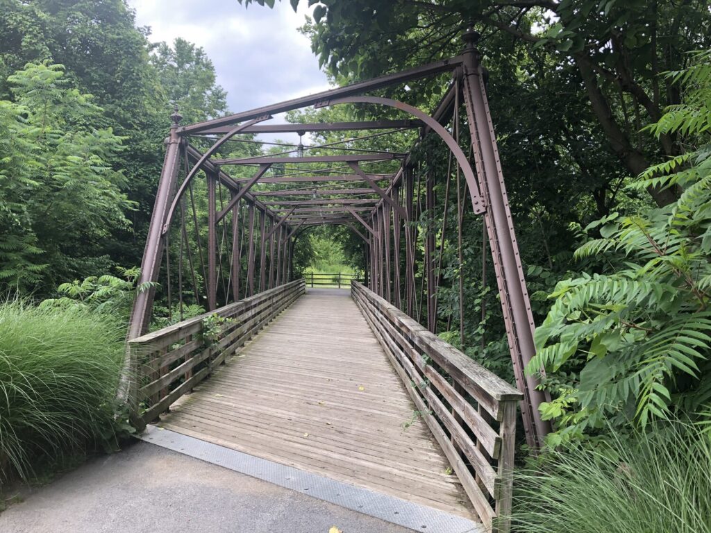
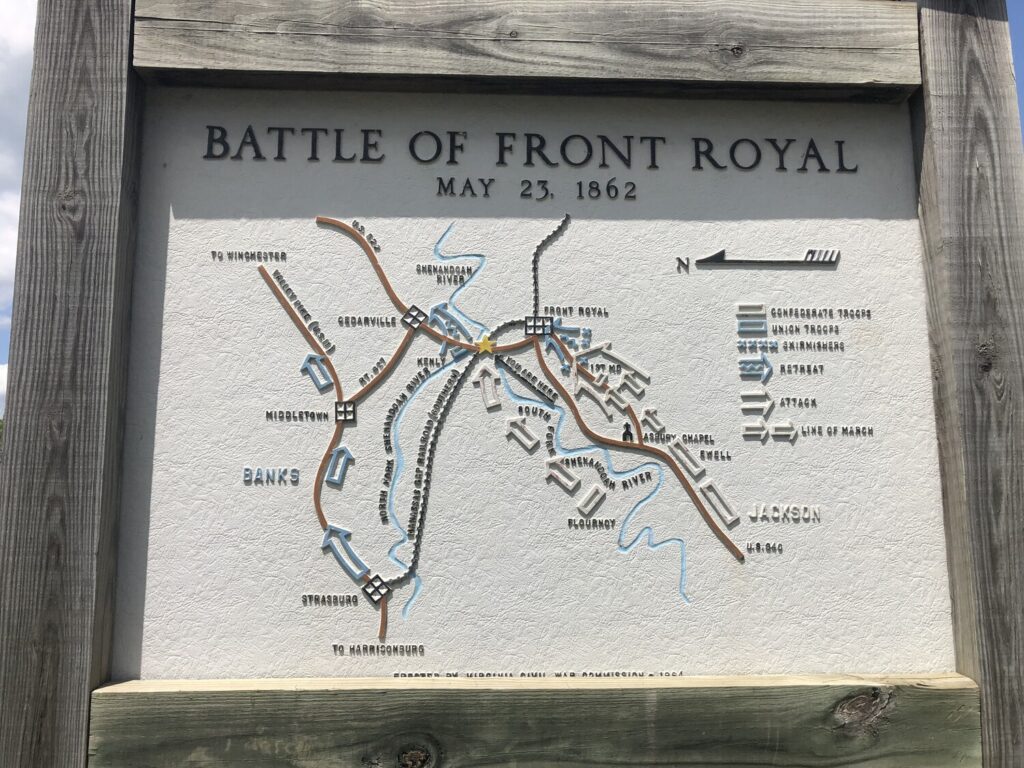
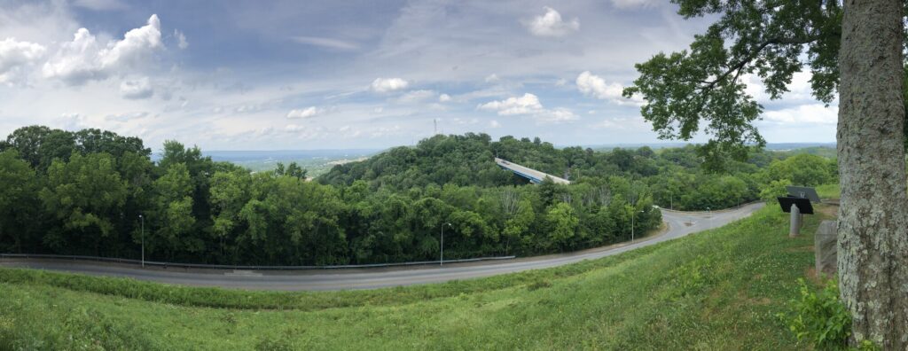
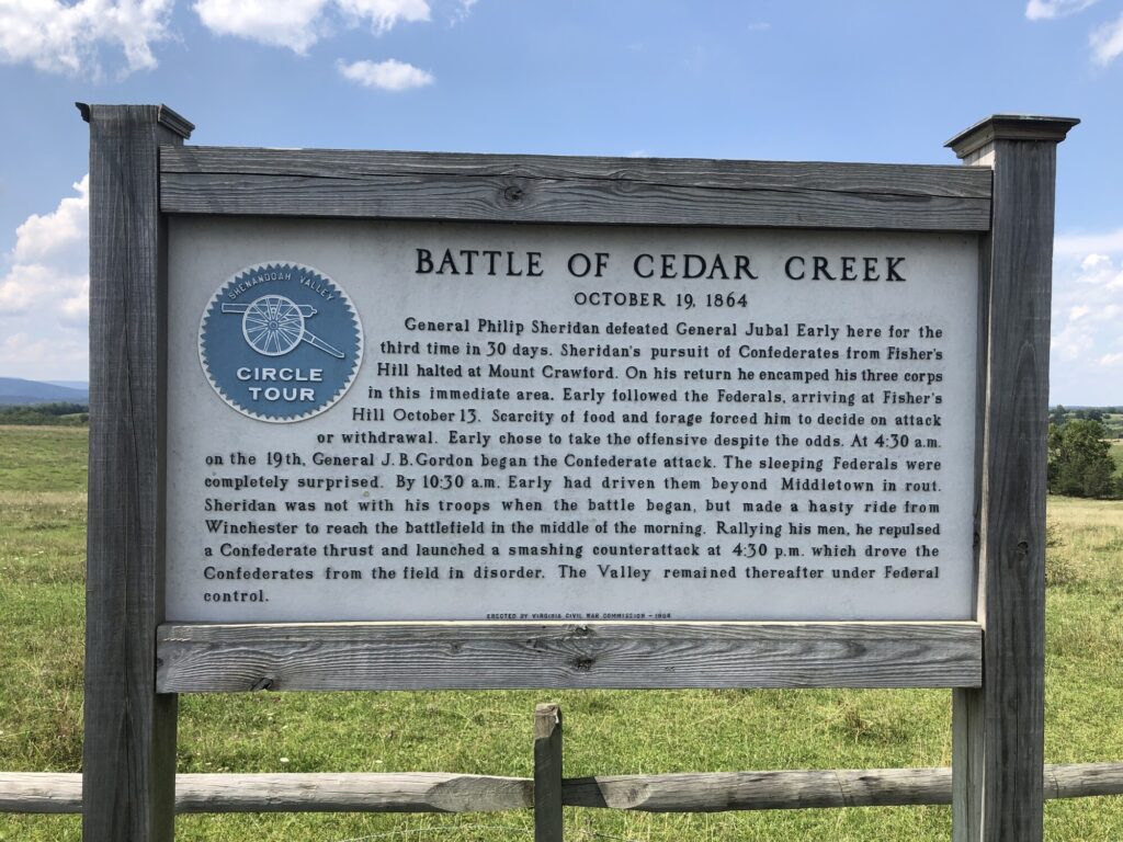
During our visit, I felt like the driving tour was a little rough, but thorough. The terrain here is gorgeous with rolling hills and valleys, and it isn’t too hard to imagine what it would have been like in the mid 19th century. It’s also pretty easy to see how the Confederates’ approach during their early morning attack would have been effectively covered by the lay of the land.

The standard Shenandoah Battle Plaque out on the field during the driving tour. - <i>Photo by the author</i>
The standard Shenandoah Battle Plaque out on the field during the driving tour. – Photo by the author

Back at the contact station, I helped the boys work through their Junior Ranger books and struck up a conversation with the ranger about all things Civil War – including my goal of seeing all the battlefields. Like most rangers I’ve encountered on these visits, he was a pleasure to speak with – I could have stayed there all day. Eventually, the boys had their books checked, got sworn in, and made a nice memory with their dad, and their “nene” and “baba”.

Swearing in the Junior Rangers. - <i>Photo by the author</i>
Swearing in the Junior Rangers. – Photo by the author

Phoenixville

From my travels, June 17, 2019.

Since I had already taken the day off work to get some dental work done in the morning, I figured that I might as well use the rest of the day to check out some history stuff that had been on my list for a while. It was time to head north, to Phoenixville, PA.

The 1882 Foundry Building has been preserved as an event venue. - <i>Photo by the author</i>
The 1882 Foundry Building has been preserved as an event venue. – Photo by the author

This cool town was once the home of the Phoenix Iron Works, a large industrial operation that made a number of iron products. The most interesting ones for my purposes were the 3-inch Ordnance Rifle that was used by the Union army during the Civil War. A large majority of the cannons of this type were made right here in Pennsylvania along the Schuylkill River.

After my recent visit to the West Point Foundry in New York, I felt that I had to see this other artillery factory that was closer to home. In retrospect, I’m really glad that I decided not to wait any longer – as you’ll see in a little bit.

Signage for the Schuylkill River Trail near the old ironworks site. - <i>Photo by the author</i>
Signage for the Schuylkill River Trail near the old iron works site. – Photo by the author

There are a few remnants of the old iron works still around. The most notable is the Foundry Building that was built in 1882. This structure has been restored and now serves as an event venue (with a small museum as well). A few blocks over, the Superintendent’s Office Building still exists as a restaurant. It was vacant during my visit.

The Superintendent's Office Building. - <i>Photo by the author</i>
The Superintendent’s Office Building. – Photo by the author

Opposite the Foundry Building, on the path of the Schuylkill River Trail, was a “demo” bridge built out of Phoenix Columns – another of the company’s products for creating pre-fab bridges – that dates to 1871. This bridge carries the trail across French Creek.

The Phoenix Column Bridge. - <i>Photo by the author</i>
The Phoenix Column Bridge. – Photo by the author

Sadly, all of these structures were built in the post-Civil War years. The site where the artillery was made was on the north side of French Creek, along the trail. I was able to walk along the path, and even went off on some side trails, but I couldn’t find any ruins that looked to be from the right era. There was a lot of poured concrete, which I think would have been installed later. The iron works eventually made the transition to steel, and continued to operate into the 1970s.

Overgrown ruins in the area where the Civil War-era portion of the iron works would have been. These are gone now. - <i>Photo by the author</i>
Overgrown ruins in the area where the Civil War-era portion of the iron works would have been. These are gone now. – Photo by the author

Today, the site where the cannons would have been forged is a new neighborhood called “Steelpointe“. Nothing of these houses existed when I visited in 2019, so I’m glad that I was able to see the site in as “pure” a form as possible. I wonder how many of the people who live here realize how important this stretch of land along the creek was to the Union war effort. I’m constantly reminded of how much history is directly under our feet, if we only have the will to explore it.

While I was in the area, I also rolled through Valley Forge National Historical Park, but that’s a story from another post, as I decided to go back the next weekend with my boys.

Battlefield Visits: Road Trip to Chattanooga, Part 6: Back to Baltimore

From my travels, May 31, 2019.

I had a great time visiting Chattanooga and driving the route of the Atlanta Campaign with my nephew, but every history nerd road trip has to come to an end eventually. As I made my way back home, I stopped at a few more battlefields that I’d never visited.

As a bonus, I even got to see some reenactment artillery being towed up I-81 along side me.

It's always an adventure driving down the Shenandoah Valley! - <i>Photo by the author</i>
It’s always an adventure driving down the Shenandoah Valley! – Photo by the author

Battle of Guard Hill – Civil War Battlefield #126

There is one marker to the Battle of Guard Hill within the cluster of markers along US-522 near the base of Guard Hill. The position is definitely elevated above Front Royal, and you can readily see the defensive advantages. Even so, Union cavalry was able to prevail, sweeping the rebels back toward town.

The marker to the battle along US-522. - <i>Photo by the author</i>
The marker to the battle along US-522. – Photo by the author

Battle of Front Royal – Civil War Battlefield #127

If you wanted to avoid the fighting during the Civil War, the lower Shenandoah Valley was NOT the place to be. There were constant battles, raids, occupations, and even burnings throughout this area from 1861-1865.

The Battle of Front Royal was part of Jackson’s 1862 Valley Campaign, and was a decisive Confederate victory. Maj. Gen. Thomas J. “Stonewall” Jackson utterly overwhelmed the small Union force in town and forced them to flee to Winchester. Famous southern spy Belle Boyd also played a role in helping prepare the rebels for their attack.

Nice map of the Battle of Front Royal. - <i>Photo by the author</i>
Nice map of the Battle of Front Royal. – Photo by the author

There are some markers discussing this action near the Guard Hill one in that standard “Shenandoah Valley” style – with more embossed maps on large, vertical boards. In the town square near the courthouse there are more markers and a good wayside. I found this fight to be particularly interesting as it is another field with Maryland vs. Maryland action.

Confederate Memorial in the town square in Front Royal. - <i>Photo by the author</i>
Confederate Memorial in the town square in Front Royal. – Photo by the author

Battle of Manassas Gap – Civil War Battlefield #128

There is a single wayside in the park and ride on Dismal Hollow Road to tell the story of the Battle of Manassas Gap, and it does that pretty well, I think. The gap is visible behind you from that location.

My one quibble would be that the wayside declares this battle to be the final action of the Gettysburg Campaign, but I feel like that was over as soon as the Confederates got back across the Potomac River.

Battlefield Visits: Road Trip to Chattanooga, Part 5: Revisits

From my travels, May 30, 2019.

Chickamauga, Revisited

Since I was still in town – and largely done with the Atlanta Campaign – I decided to go back and really properly do Chickamauga since the only other time I had visited, I didn’t really know what I was doing. Luckily, my nephew was game.

The entrance to the visitors center at Chickamauga - <i>Photo by the author</i>
The entrance to the visitors center at Chickamauga – Photo by the author

We started, appropriately enough, at the visitors center. There is a great display of artillery out front, so I got to nerd out with my nephew about that. Around the side, they even have a mountain howitzer. Very cool! For the rest of the day, my nephew tried his hand at identifying the cannons – and he did pretty well!

After orienting ourselves, we did the standard auto tour. What really impressed me about the place was the old War Department tablets. There are similar monuments at Gettysburg – one for each corps, division, brigade, and battery. Here at Chickamauga, though, each unit has multiple tablets, at places where they fought or maneuvered. With enough time, you can follow the movements of individual units – with some markers even being hidden in the middle of the woods. It’s wild. I could spend a lot of time here.

One highlight of this visit was that I was able to get over my acrophobia enough to climb the Wilder Brigade Monument Tower. It honestly wasn’t that bad since the spiral staircase is enclosed. The view from the top was pretty cool.

We took a selfie at the top of the Wilder Tower. - <i>Photo by the author</i>
We took a selfie at the top of the Wilder Tower. – Photo by the author

The farthest “off the beaten path” we went, was to the far right of Maj. Gen. George Henry “The Rock of Chickamauga” Thomas’ line to find the monument to the 121st OH. My old high school buddy, Jim, had sent me a photo years ago of him shaking his fist at the marker. I really wanted to give a proper response. Being able to do that along with my nephew was a really special memory.

My response on behalf of Thomas' men. - Photo by my nephew
My response on behalf of Thomas’ men. – Photo by my nephew

Missionary Ridge

The Iowa Monument marks the start of the road along Missionary Ridge. Lookout Mountain is in the background. - <i>Photo by the author</i>
The Iowa Monument marks the start of the road along Missionary Ridge. Lookout Mountain is in the background. – Photo by the author

After a quick stop for lunch, we headed north. I wanted to actually drive along Missionary Ridge and see what was left of the field. There’s not much – it’s mostly very expensive houses now. The route is utterly littered with War Department plaques, but I doubt anyone ever reads them. There is no where safe to pull off and park near the vast majority of these monuments and markers. You’d almost have to walk along the road to take them all in, and it’s a narrow road. I don’t think that would be very safe.

There are a few spots called “reservations” where there is about a block or so of “park.” While there weren’t very many of these to stop at, the views when you did were awesome. Not as good as Lookout Mountain, but better than your average Civil War battlefield.

Panorama of the view to the north from the Bragg Reservation. - <i>Photo by the author</i>
Panorama of the view to the north from the Bragg Reservation. – Photo by the author

I had a great visit to Chattanooga and Atlanta. It was time to get on the road back to Baltimore. But there were a few more spots to hit along the way.