Battlefield Visits: Overland Campaign and More
From my travels, July 17, 2021.
This is going to be a fairly long post because we’re about to cover a lot of ground.
Back in the summer of 2021, I had a rare weekend without my boys. My now-wife Emily suggested that it might be nice to do a battlefield trip. I suggested visiting the Fredericksburg / Richmond area since I’d been reading Gordon C. Rhea’s excellent series of books about the Overland Campaign, and besides: Fredericksburg is a cool town with some nice restaurants.
I booked a hotel and got dinner reservations at Fahrenheit 132 downtown. We had an absolutely amazing dinner there on Friday night, and strolled around the town a bit. The next day was going to be all about battlefield stomping.
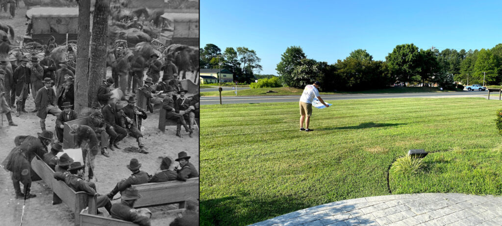
Massaponax Church
If you’re going to follow the path of the Overland Campaign after the Battle of Spotsylvania Court House, you pretty much need to start here at Massaponax Church.
This is where Lt. Gen. Ulysses S. Grant and Maj. Gen. George G. Meade planned out the next phase of the campaign. This is also the site of the only known photos taken of both of these generals together. Emily was nice enough to help me attempt to re-create one of them, and we had a little fun with it. Standing in the footsteps of Grant is becoming something of a tradition for me.
Battle of North Anna – Civil War Battlefield #135
It had been 665 days since my last “new” battlefield visit. It felt good to get out and explore something again!
I had been dreaming about seeing the site of the Battle of North Anna for years. The field is somewhat preserved today – at least a lot of the earthworks are – by a county park. Emily and I hiked along the “grey trail“. The earthworks here are well-preserved and just seemed to go on and on. Definitely among the nicest I have seen.
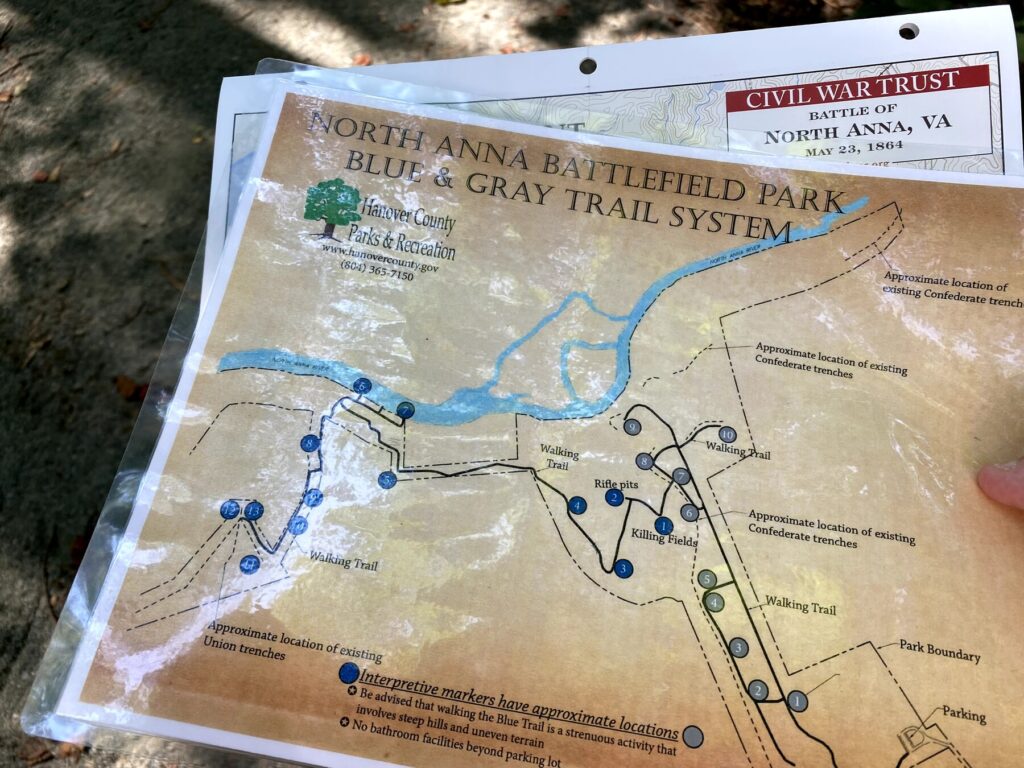
The site of Brig. Gen. Ledlie’s ill-advised attack was nasty – gullies and breastworks – no wonder it was a slaughter. The view of the river at Ox Ford was also imposing. Gen. Robert E. Lee’s great “inverted V” trap was indeed formidable.
Battle of Hanover Court House – Civil War Battlefield #136
Just a single wayside marker near the Hanover Tavern mentions the action of the 1862 Battle of Hanover Court House.
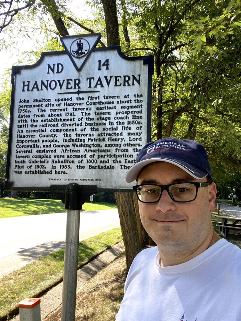
This one was not part of the Overland Campaign, but it was along the route we were taking and I hadn’t visited yet. Elements of both armies passed through this area multiple times during the war as well.
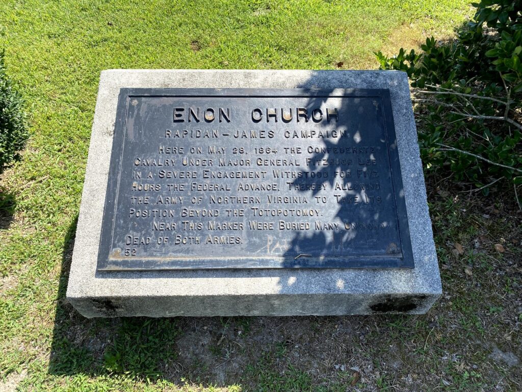
Battle of Haw’s Shop – Civil War Battlefield #137
Wayside markers at the Salem Church and the Enon Church (both along Studley Road) describe the action of the all-cavalry Battle of Haw’s Shop. Once again, Brig. Gen. George Armstrong Custer makes his presence felt as it was the charge of his Michigan Brigade that broke the Confederate lines.
Battle of Totopotomoy Creek – Civil War Battlefield #138
A small section of the Battle of Totopotomoy Creek is preserved by the NPS around the “Rural Plains” house (where Patrick Henry was married). We attempted to walk along a trail there, but it was very hot and not well-marked, so we turned back.
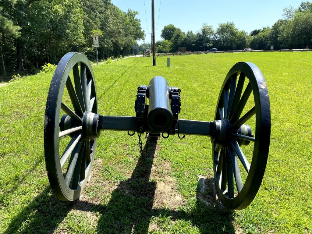
Emily made the first artillery-spotting of the day: a real 3-inch Ordnance Rifle from the Phoenix Iron Company.
Battle of Old Church – Civil War Battlefield #139
Another cavalry battle involving George Armstrong Custer, the Battle of Old Church didn’t have any markers or preservation at all. We drove through the center of the field – along McClellan Road – and it was pretty easy to see where the original Union defensive line would have been.
Battle of Cold Harbor – Civil War Battlefield #140
The Battle of Cold Harbor is another place where the NPS has preserved a small section of a massive field. There’s a lot more still to be done here, with the American Battlefield Trust always on the lookout for ways to preserve every acre they can.
There is a nice Visitor Contact Station here – though we weren’t allowed inside because of COVID-19. A couple of rangers had a canopy set up out front and were handing out maps, Junior Ranger materials, and answering questions.
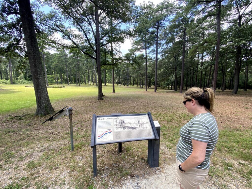
We picked up a map and did the short 4-stop auto tour. It was nice, but I wonder how much visitation a satellite site like this gets.
Second Battle of Deep Bottom – Civil War Battlefield #141
A small roadside marker along Darbytown Road, near the Hardy Central Baptist Church, tells of some of the action of the Second Battle of Deep Bottom. It is located near the spot where Confederate Brig. Gen. John R. Chambliss was killed.
Battle of Glendale – Civil War Battlefield #142
We drove through most of the field of the Battle of Glendale on the way to our next stop. The fighting here was part of the earlier 1862 Seven Days Battles, so it wasn’t the focus of this trip. I didn’t stop for any of the markers, mainly because it didn’t seem like there was anywhere safe to pull off and read them.
The NPS also no longer runs a Visitor Contact Station out here, so that makes it harder.
Battle of Malvern Hill – Civil War Battlefield #143
I know that I just got done saying that I wasn’t focusing on the Seven Days Battles during this trip, but I decided to add the Battle of Malvern Hill to the itinerary after reading about Henry Hunt’s masterful use of artillery here.
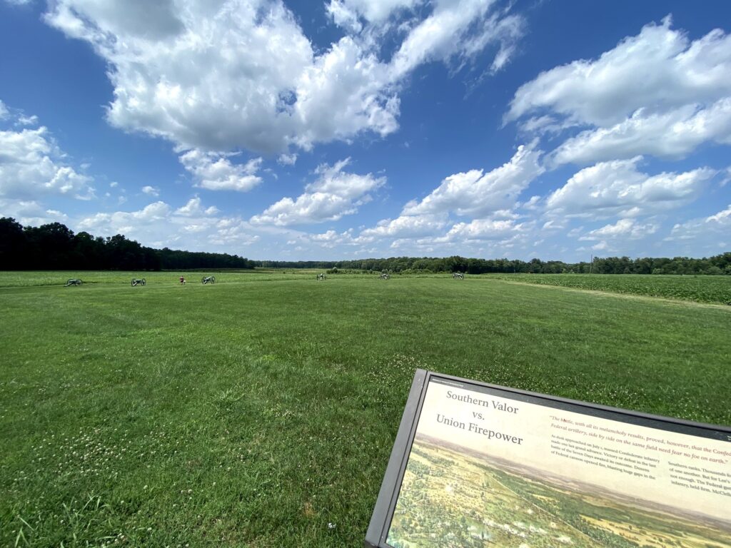
Honestly, it isn’t that much of a hill, but the approaches that the Confederates used were absolutely murderous. I don’t know how anyone survived those assaults. Thanks to Hunt’s artillery, the Union army could safely retreat from their failed campaign against Richmond.
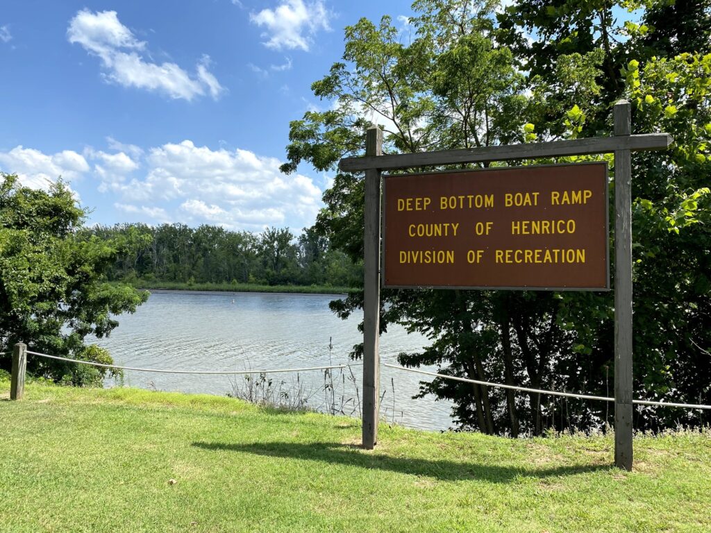
First Battle of Deep Bottom – Civil War Battlefield #144
We found a wayside describing some of the action of the First Battle of Deep Bottom near where the Union pontoon bridge had been constructed. There is a small park there today.
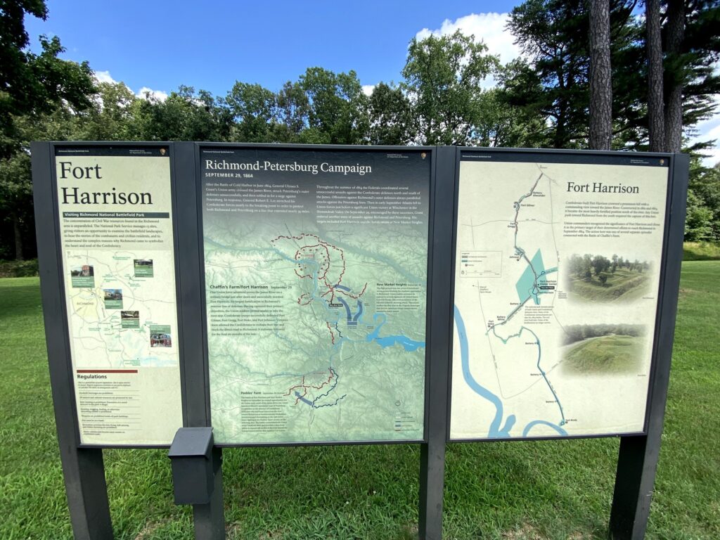
Battle of Chaffin’s Farm / New Market Heights – Civil War Battlefield #145
Stopped at Fort Harrison which had a few markers to describe the Battle of Chaffin’s Farm / New Market Heights. The earthwork fort is fairly well-preserved, and Emily enjoyed this spot as it was pretty easy to visualize what happened here.
Battle of Darbytown and New Market Roads – Civil War Battlefield #146
This is where the names of the fights start to get a little repetitive and confusing.
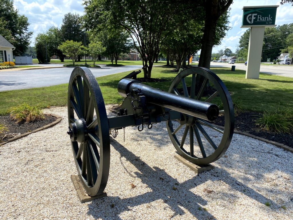
There is a wayside marker for the Battle of Darbytown and New Market Roads – along with a fake Parrott Rifle – in the parking lot of a C&F Bank. This was a minor battle with a matching very minor interpretation.
Battle of Darbytown Road – Civil War Battlefield #147
There are two markers for the Battle of Darbytown Road (one called it the Second Battle of Fair Oaks) located outside of Dorey Park. This was another very small action.
Battle of Fair Oaks and Darbytown Road – Civil War Battlefield #148
There was no marker here – nor was there a safe place to pull off. I did see a marker for Fort Lee in the vicinity of where I think the Battle of Fair Oaks and Darbytown Road took place, but to be honest, all of these fights seem to overlap and get confused.
Battle of Oak Grove – Civil War Battlefield #149
I know – here is another of the Seven Days Battles, but as I was driving through the area anyway, I decided to check of the Battle of Oak Grove.
This field is now completely consumed by Richmond International Airport. I guess the airport has to go somewhere, but it’s a shame to wipe out a historical battlefield in the process.
There is a marker and a few cannons along the airport entrance road that commemorate the fighting, but I couldn’t visit them as the entire area is littered with “NO PARKING” signs.
Battle of Seven Pines – Civil War Battlefield #150
Just to make it an even 150 – and because it was right along our route anyway, I stopped at the Battle of Seven Pines – another of the Seven Days Battles. This one was basically a bonus.
There isn’t much left of this field, but the lines seem fairly well marked with roadside signs. We saw one of the typical VA stone markers outside of the local library.
We saw a lot on our 1-day trip. In fact, 16 battlefields in one day is a personal record for me that I doubt I’ll ever top. Emily was a really great travel partner. I’m lucky to have her.