Battlefield Visits: Shenandoah Valley
During the Civil War, the Shenandoah Valley was both the breadbasket of the Confederacy, as well as a key transportation corridor used by both sides for their respective invasions. There was almost constant conflict in the region for the duration of the war, and large areas destroyed in actions like “The Burning”. A few summers ago, I toured many of the battlefields in this very important theatre of the war.
Battle of McDowell – Civil War Battlefield #60
Approaching from the east (in the Harrisonburg area), I lost cell service as soon as I hit the mountains. Such is life in the National Radio Quiet Zone. There is a cool overlook on top of one of the ridges along Rt. 250 that talks about a Confederate fort and earthworks there under Gen. Edward “Allegheny” Johnson. Very nice views and a few interpretive markers.
Just before the town of McDowell, the Civil War Trust has a small parking lot with markers showing the start of the trail they laid out on their property on Sitlington’s Hill. The signs mention a blueblaze trail, but I couldn’t find any blazes. Combined with the fact that it had just rained, was approaching dusk, and I had no cell phone service, I decided not to venture up the hill. The town was nice, though, and I was able to see the house that Stonewall Jackson used as a headquarters during the Battle of McDowell.
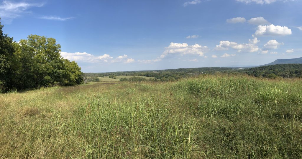
Battle of Cross Keys – Civil War Battlefield #61
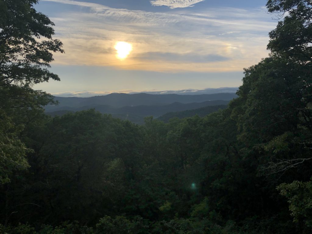
A relatively small fight during Stonewall Jackson’s 1862 Shenandoah Valley campaign, Cross Keys is not far to the southeast from Harrisonburg. There’s a wayside marker – a series of them actually – near the cemetery on Battlefield Road. The terrain is very rolling. The Union line was more-or-less along modern Cross Keys Road, and the view to the southeast of the mountains was beautiful. The southern peak of Massanutten Mountain was clearly visible from here.
Battle of Port Republic – Civil War Battlefield #62
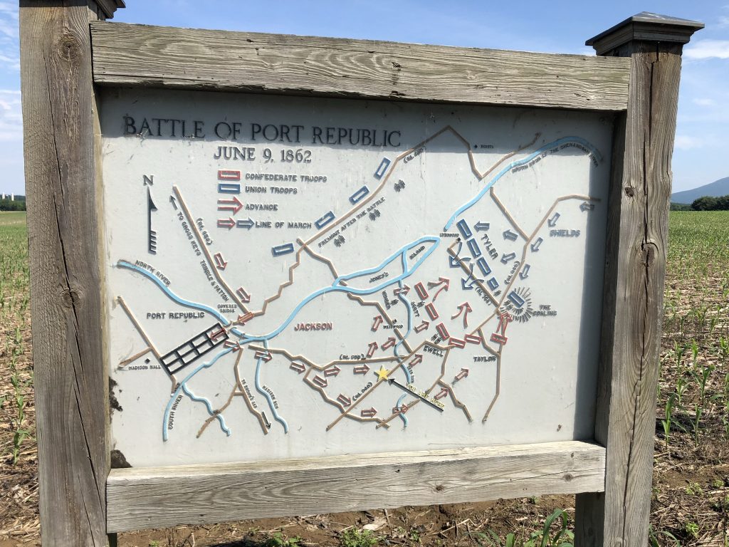
Just after the Battle of Cross Keys, the action of Jackson’s Valley Campaign moved farther to the southeast at the Battle of Port Republic. Naturally, we continued there on our tour, too.
Initially, I had some trouble finding the battlefield itself. There is a set of markers near “The Coaling” east of town. The battle took place mainly between that spot and the town. The terrain was basically flat farm fields that are bordered on the north by the south branch of the Shenandoah River.
Battle of Piedmont – Civil War Battlefield #63
More rolling terrain at this battlefield. It is fairly difficult to get a sense for where the lines were. But there are a few markers, and one wayside in the parking lot of the local community center that includes a map.
Battle of Waynesboro – Civil War Battlefield #64
This battlefield – the site of the last fighting in the Shenandoah Valley – has been entirely overtaken by the modern development of the town. I found one marker on W. Main Street near the Masonic Lodge, but there are no waysides here, so there are no maps to orient you to where the action took place.
Battle of New Market – Civil War Battlefield #65
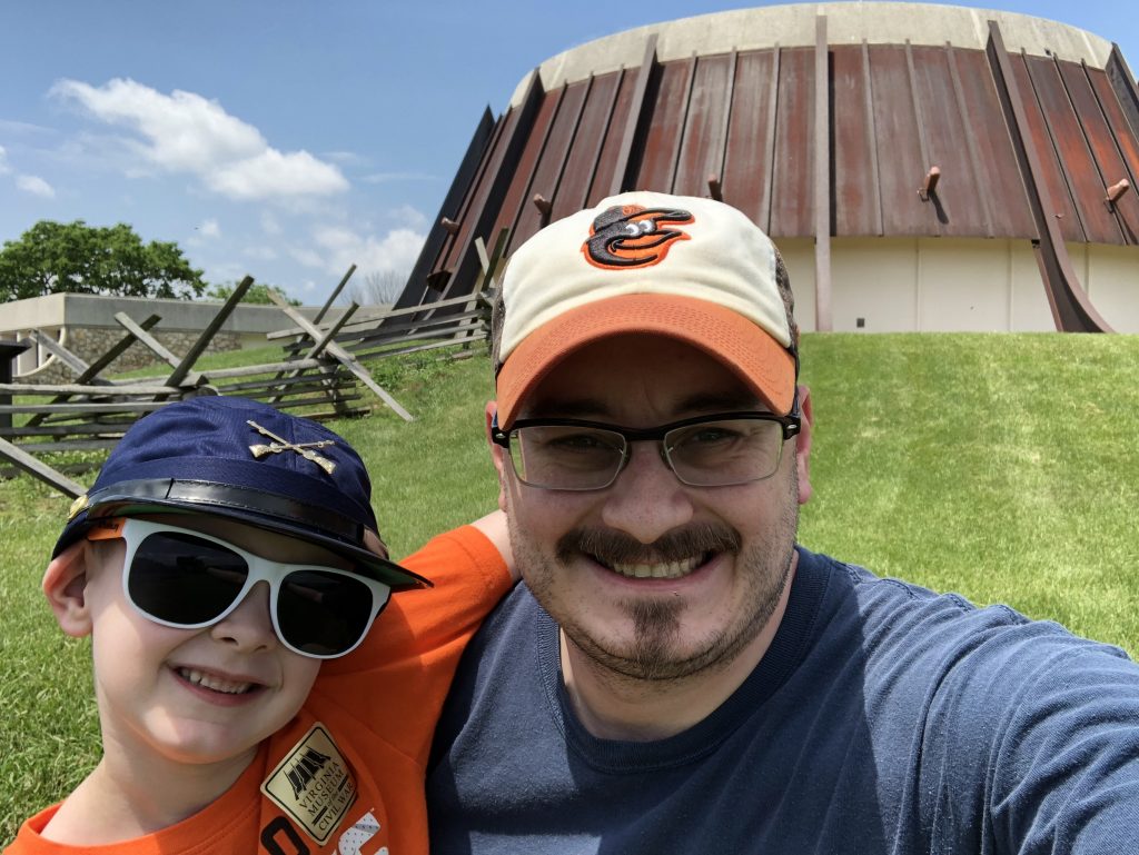
The VMI-run Virginia Museum of the Civil War was fairly sparse during our visit. I got the impression that they were in the midst of re-arranging the exhibits. It’s nice to see them involved at the battle where the most famous aspect is the charge of their cadets. There is a sizeable collection of small arms downstairs which is probably the main attraction. $10 admission seemed a little steep for what it is, though my son was free. He really wanted to get a hat, so I bought him a super-FARBy, cotton kepi with (*UGH*) crossed rifles in the gift shop. It’ll be a fun souvenir for him, nonetheless.
The field itself is small. There is a trail that takes you along the path of the VMI cadets’ attack, and a few reproduction artillery pieces. There’s also a spot where you can get a nice view of the north fork of the Shenandoah River.
Battle of Tom’s Brook – Civil War Battlefield #66
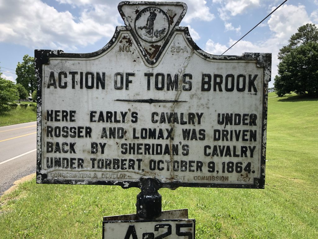
There’s a marker for the Battle of Tom’s Brook along Route 11 in the town where the action took place, and a nice wayside that is deep in the nearby Shenandoah County Park near a storm water pond. A large patch of woods there means that the Valley Pike can’t be viewed from the wayside, so it’s a little hard to really see and appreciate the terrain. Some imagination is required.
Battle of Fisher’s Hill – Civil War Battlefield #67
There are a few markers along Route 11, but that’s not all. A totally separate section of the battlefield – Ramseur’s Hill – has been preserved on the northwest side of I-81. There are a few waysides and a walking trail there. During my initial trip, I didn’t get out to explore too much, as my son was already pretty burned-out on battlefields for the day, but I was lucky enough to come back for a special tour that was given on the 155th anniversary of the Battle of Fisher’s Hill, and the views are amazing from the top of the hill.
1 thought on “Battlefield Visits: Shenandoah Valley”