Battlefield Visits: More Virginia Sites
Back in February of 2019, I took a day to explore some of the battlefields that I hadn’t yet visited in Northern and Central VA. I put together a route on Google Maps, hopped in the car, and spent the day on the road. This post consists of my edited notes on each field from that day.
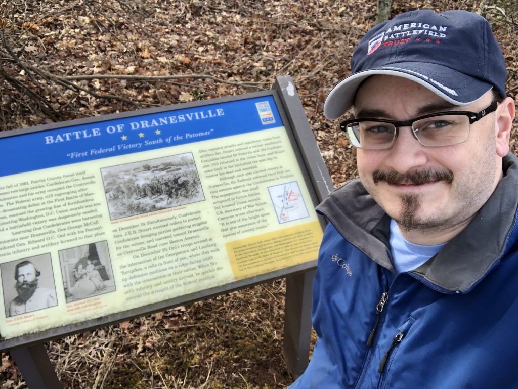
Battle of Dranesville – Civil War Battlefield #74
The action of the Battle of Dranesville took place around the intersection of VA Route 7 with Reston Ave. & Georgetown Pike. There is a marker on Georgetown Pike, and a wayside not too far away. There is also another wayside at the Dranesville Tavern Park about a mile to the west. The terrain seems to favor the Union position, as it appears they were elevated. The armies came through this area during many campaigns, as indicated by other markers in the vicinity.
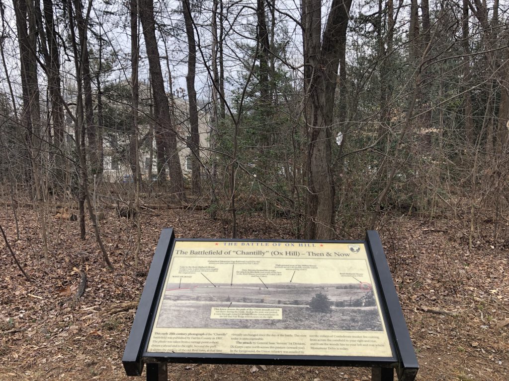
Battle of Chantilly (or Ox Hill) – Civil War Battlefield #75
A small portion of the field exists as Ox Hill Battlefield Park. Most of the area has become modern shopping and housing complexes. The push to save this field in the 1990s is what sparked the modern battlefield preservation movement, so this place is doubly significant for a battlefield nerd like me. The park is quite nice, with a walking path and 9 different waysides describing the action of the battle. Markers exist for the deaths of Brig. Gen. Isaac Stevens and Maj. Gen. Philip Kearny, but only Stevens’ is accurately placed. Gen. Kearny was likely killed in what is now the middle of Monument Drive.
Battle of Blackburn’s Ford – Civil War Battlefield #76
This fight was a relatively small one immediately preceding the First Battle of Bull Run. There are a couple of wayside markers talking about the action in the parking lot for the Bull Run-Occoquan Trail along Centreville Road. Just up the hill to the south, in a CVS parking lot, is a series of markers that discuss the Wilmer McLean plantation.
Battle of Manassas Station Operations – Civil War Battlefield #77
This most oddly-named battle was really a series of smaller raids by Maj. Gen. Thomas J. “Stonewall” Jackson along the Orange and Alexandria Railroad. There is a wayside in downtown Manassas, on the north side of the railroad tracks near the station.
First Battle of Auburn – Civil War Battlefield #78
There is a marker for the location of Stuart’s Bivouac, and that’s about it. I was in the process of exploring this battlefield – pulled over on the side of the road with my flashers on to get my own photo of the above marker – when a lady pulled by slowly and rolled down her window to ask if I needed help. I’ll leave the answer to that question as an exercise for the reader. 😉
Second Battle of Auburn (or Coffee Hill) – Civil War Battlefield #79
I’m really not sure why this is even considered to be a separate battle from the First Battle of Auburn. It took place the next day, in the same vicinity, and involved basically the same combatants. Nevertheless, there are some nice markers talking about it near Cedar Run.
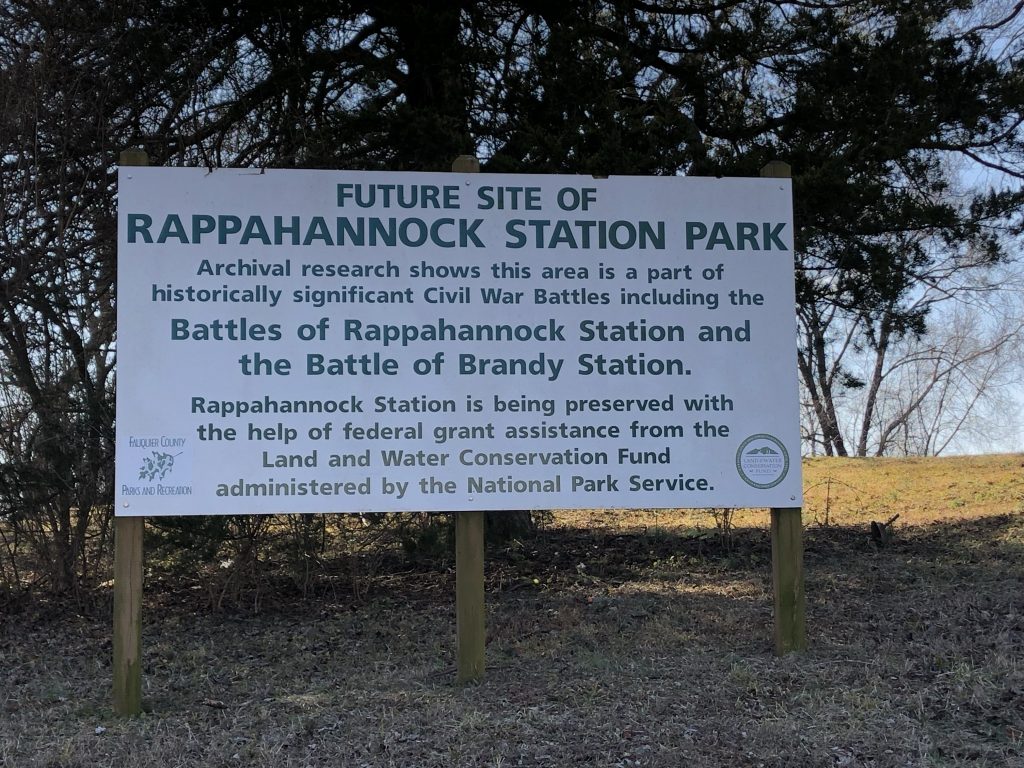
Second Battle of Rappahannock Station – Civil War Battlefield #80
There is a wayside marker in town talking about the night attack that happened here. Near the river (and squeezed beside a new housing development) is land that is marked as the future site of Rappahannock Station Park. This is the spot where the American Battlefield Trust had produced their live videos discussing the battle. While much of the field is lost, that small park leaves some hope that the fight will be remembered.
First Battle of Rappahannock Station – Civil War Battlefield #81
From the Rappahannock Station Park, it was a quick drive across the river to the intersection of Business Route 15, and US Route 15/29, which period maps seem to indicate was the center of the action for the First Battle of Rappahannock Station. There are no markers there that I could find, even though there is a good-size gravel pull-off along the side of a major road.
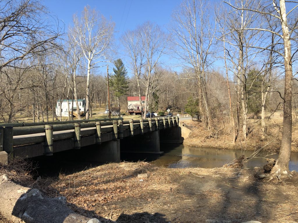
Battle of Kelly’s Ford – Civil War Battlefield #82
A short distance away from Rappahannock Station lies the site of Kelly’s Ford. A battle here in March of 1863 was the main attraction for me this day, but the river crossing was also used by Union troops later at the Battle of Brandy Station. There are nice waysides near the modern-day bridge over the ford. There also appears to be a marker at the spot where “The Gallant Pelham Fell”, but it was back a trail that was marked as being an active hunting area, so I decided not to risk it on my own.
The Rapahannock Station Battlefield must be preserved as an important CW historical site. Why the community and the Trust weren’t not able to prevent the development is beyond me.
This are should not be a recreation park like the local community planned. There are certainly other places for that.