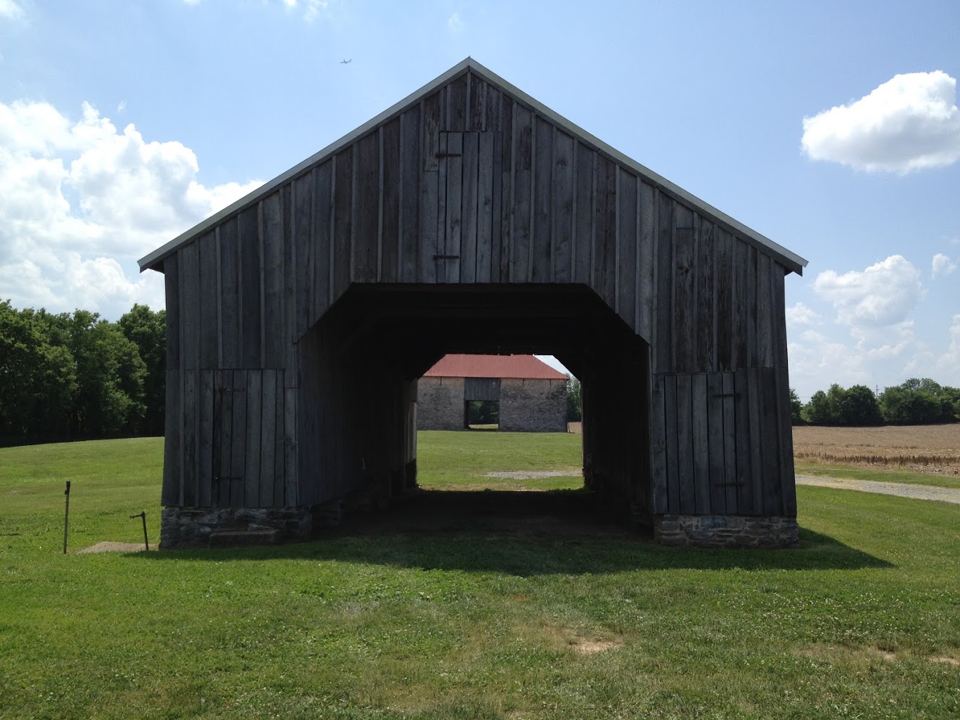
Battlefield Visits: Small Actions in Maryland
While there were many important events happening in Maryland concerning the War of the Rebellion, the Civil War Sites Advisory Commission identified only seven “official” battlefields here in my native state. There are a few that you may know of (and that I’ve covered here already – Antietam, Monocacy, and South Mountain) but some of the smaller ones remain under-the-radar for most folks (and even for some #CivilWarNerds). Today, I’ll be writing about those.
Battle of Boonsboro – Civil War Battlefield #24

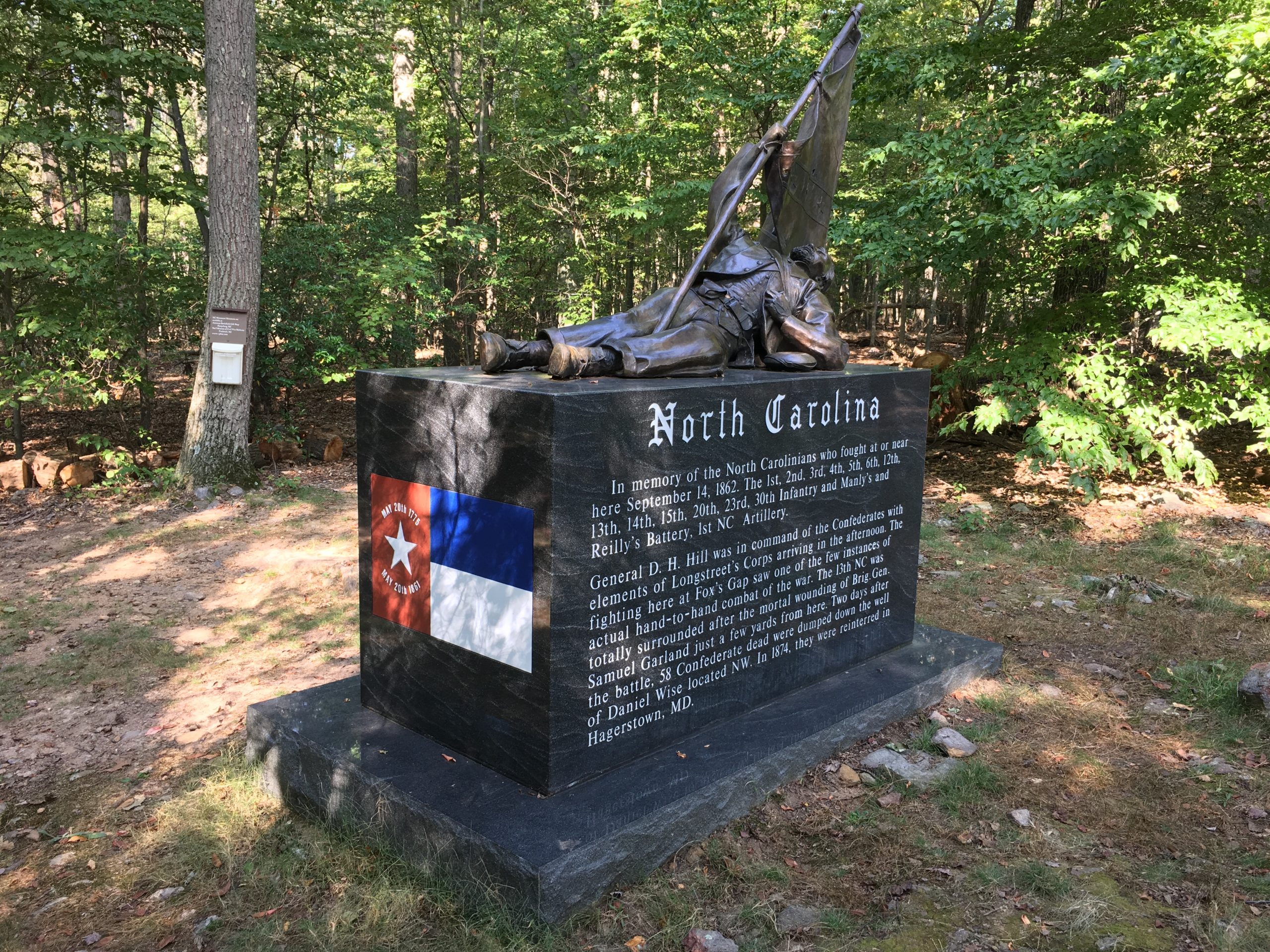
After the Battle of Gettysburg, the Confederates started to pull back toward Virginia. The weather was bad, and it took a long time for them to retreat across southern Pennsylvania and through Maryland. Several small actions took place along the way – mostly involving cavalry units fighting each other. The Battle of Boonsboro was just such an action.
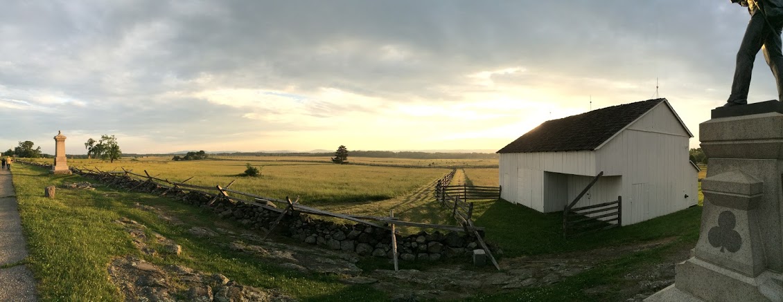
There is a wayside marker in the parking lot of Boonsboro Antiques and Collectibles that explains the action that took place mostly across the road. This rather messy engagement wasn’t much more than a delaying action for the Confederates.

Battle of Williamsport – Civil War Battlefield #25
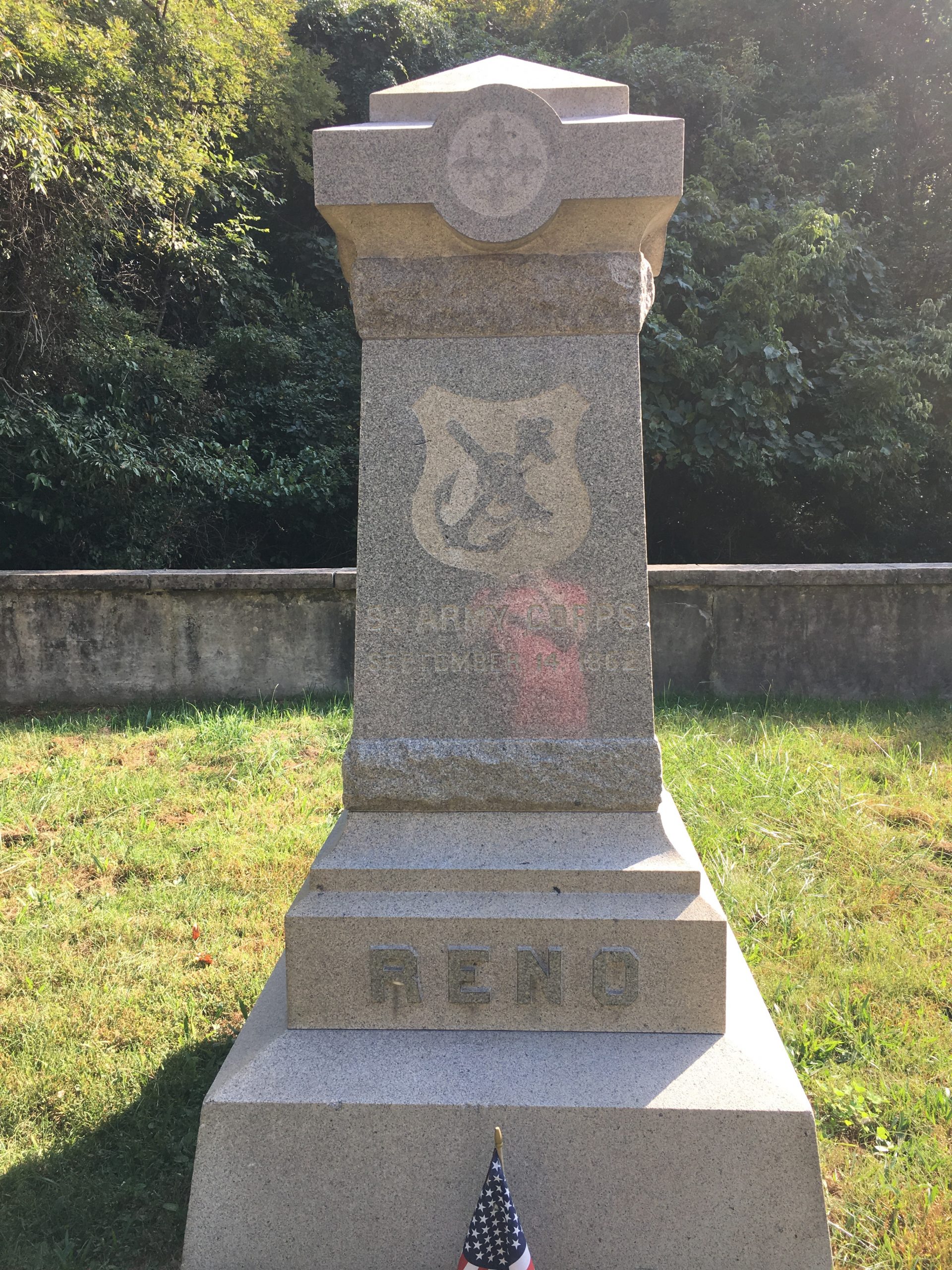
Not really a single battle as much as a drawn-out series of small pokes and prods, the Battle of Williamsport was the final piece of the Confederate retreat following Gettysburg.
There are numerous markers surrounding Williamsport that discuss the various stages of the combat there. With no major action taking place, it is hard to direct you to any one place. I found a walk along the C&O Canal to be quite nice when I visited, as it affords an opportunity to learn about a little more than just the Civil War history of the area. One of the major visitors centers is located near the site of the Confederate crossing.
Battle of Folck’s Mill – Civil War Battlefield #57
The Battle of Folck’s Mill was a very minor action near Cumberland, Maryland. Mostly an artillery duel, it was fought by local militia protecting the city of Cumberland from a Confederate raid late in the war.
Sadly, what is left of the field is extremely difficult to access. The mill itself still exists – at least as ruins – but it is surrounded by highways and private property. You would never know it was there. There are some wayside markers located on the grounds of the Ali Ghan Shriner’s Hall that discuss the action, but the terrain has been completely changed by the modern highways and interchanges in the area. The approaches and artillery positions have been completely obliterated, so a fair amount of imagination is needed on a visit.
Battle of Hancock – Civil War Battlefield #58
Surprisingly, this is the ONLY “official” battle of Thomas J. “Stonewall” Jackson’s Bath-Romney Campaign in the winter of 1862. Hard to believe since there was really no combat during the Battle of Hancock. Jackson showed up on the Virginia (present-day West Virginia) side of the Potomac and hurled some artillery rounds at the Union troops in town. After a couple of days, he moved on. Simple as that.
There are markers explaining some of the action on the Maryland side of the river, along the C&O Canal. The town itself has some character, and if you’re there on a day they’re open, the Hancock Town Museum is worth a visit.